


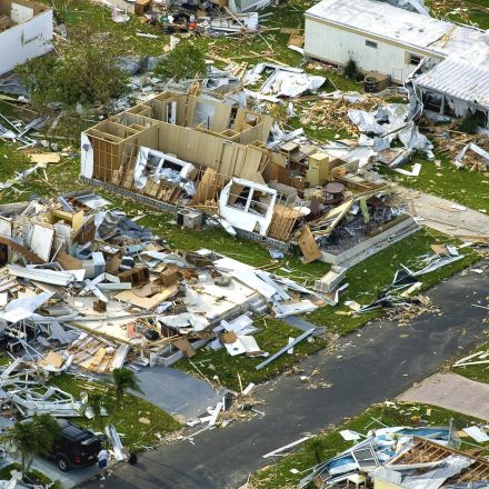

Drones Helping in Disaster Management
-
GEO-VISION - Mission critical visual communication technologies
GEO-VISION
GEO-VISION is a European Horizon 2020 project, aiming to save lives and critical infrastructure during emergencies and disasters by utilizing space resources, such as satellite communication, and also drones/ UAV.
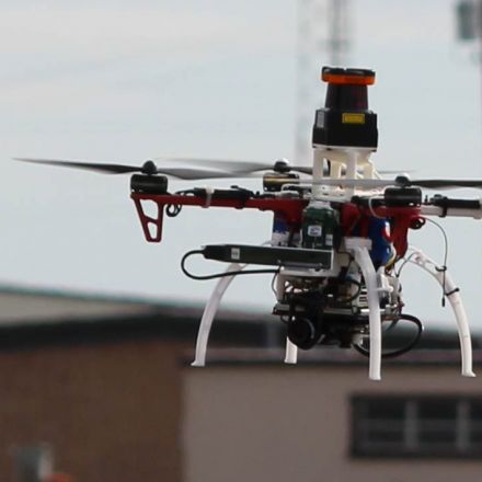
Quadcopters using RAIDO suite for Mission Critical Multimedia Communication in a joint forces test operation for civil security in Austria.
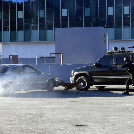
Aspects of GEO-VISION
- safe use of UAVs during operations
- use of smartphone applications for in-field data collection and communication,
- trustful and reliable crowdsourcing
- interactive and smart communication concepts
- rapid online mapping and development of an operational network structure with field users.
-
AnsuR RAIDO suite for Mission Critical Multimedia Communication


Join the Discussion