


9 years ago
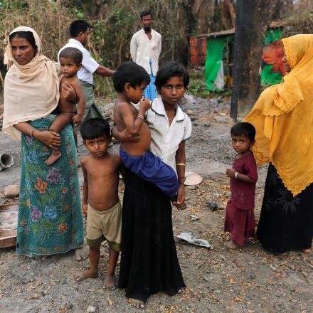
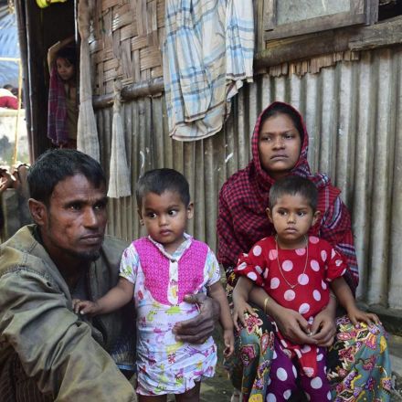
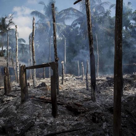
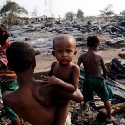
New satellite imagery of Burma’s Rakhine State shows 820 newly identified structures destroyed in five different ethnic Rohingya villages
Alarming new satellite images confirm that the destruction in Rohingya villages is far greater and in more places than the government has admitted. High-definition satellite imagery shows 820 newly identified structures destroyed in five different ethnic Rohingya villages between November 10-18, 2016.
Continue Reading https://www.hrw.org


Join the Discussion