


8 years ago
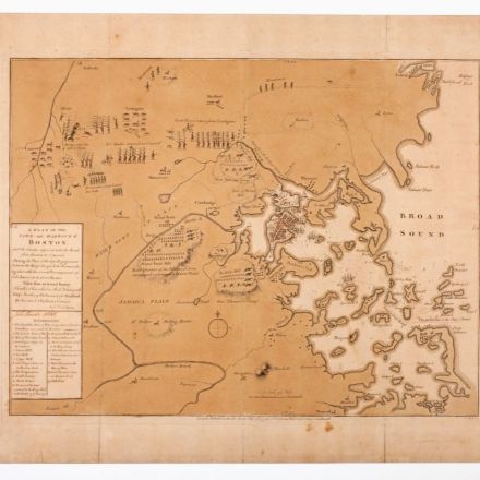
1775 Breaking News: The First Published Map of the Revolutionary War
We see wars unfold on live video alongside satellite maps, but our eighteenth-century counterparts had to wait. Maps had to be drawn, engraved, and printed before they were sold to those who could afford them.
Continue Reading http://pastispresent.org


Join the Discussion